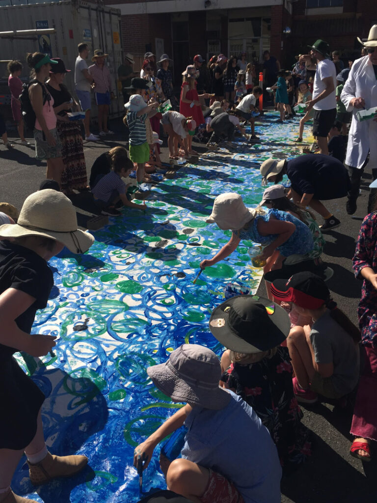
The Maribyrnong Catchment
The Maribyrnong, Mirrangbamurn – Melbourne’s second largest river brings life, joy, and balance along its journey from source to sea. The river we know, and love, is not just water, but the intersection of ecosystems, culture, and community – together as one living and integrated natural entity. Some have said the name Maribyrnong derives from mirringgnay-bir-nong which in Woi-wurrung is said to mean “I can hear a ringtail possum.”
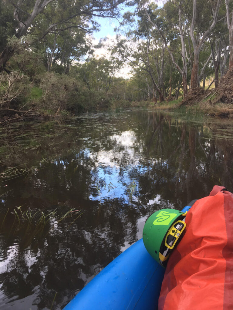
The Central Macedon Range is the primary source of the two major tributaries to the Maribyrnong River: Deep Creek flowing to the north, and Jacksons Creek flowing to the south. These tributaries join near Bulla to form the Maribyrnong River. Below this confluence, the Maribyrnong stretches 41 km before it meets the Yarra. Three small creeks, Arundel Creek, Steele Creek, and Taylors creek enter into the Maribyrnong below Bulla. The river and its tributaries have carved a path through the basalt plains of the region, creating a diverse landscape of escarpments, gorges, and river flats. The 1400 square km catchment is a predominantly rural catchment with the river valley cutting through the lava flows of the Keilor and Werribee plains created by volcanic eruptions over two million years ago. As the Maribyrnong enters the built-up area of Melbourne, it begins a dramatic transformation from a natural river to a highly urbanised working river.
The Maribyrnong River valley has been home to the Wurundjeri people of the Kulin nation for at least 40,000 years. Thousands of cultural sites and places have been recorded, most along the river, in the form of stone tools, scar trees, and unique floral assemblages. The Keilor Cranium site is one of Victoria’s most important archaeological sites suggesting indigenous occupation back to at least 30,000 years BP. Extinct Pleistocene animal fossils are also associated with the site. The Mount William Stone-Axe Quarry is the largest and best-known indigenous quarry in Victoria spread over 50 acres. Known as Wil-im-ee Moor-ring, meaning “axe place” in Woi-wurrung, the greenstone quarry was an important source of raw material for manufacturing greenstone axes, which were traded over a wide area of south-east Australia. The western clans were said to have worked hard to balance community and Country by employing sustainable agricultural practices. Terraced myrnong gardens were cultivated, with bright yellow blooms stretching for kilometers. The Wurundjeri Woi-wurrung saw the valley as an aggregate of water and land with its flora and fauna, and their agriculture practices ensured the reliable supply of resources. The land and waters of this region continue to hold deep spiritual and cultural significance to the Kulin Nation.